1
/
of
3
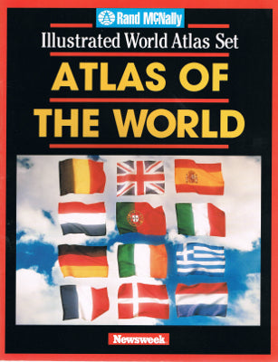
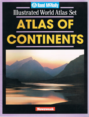
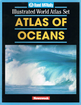
Rand McNally Illustrated World Atlas Set (Paperback 3-Volume Set)
Rand McNally Illustrated World Atlas Set (Paperback 3-Volume Set)
Regular price
$6.99 USD
Regular price
Sale price
$6.99 USD
Unit price
/
per
Taxes included.
Condition
GOOD: These three atlases are in good condition, showing small signs of use on the corners.Product Details
Each volume contains full-color illustrations and maps.Atlas of the World
- World Political Information Table [as of 1996]
- Map Symbols
- World
- Europe and Western Asia
- Mediterranean Lands
- Northern Eurasia
- Asia
- China and Japan
- Southwest Asia
- Southeast Asia
- Australia and New Zealand
- Northern Africa
- Southern Africa
- Canada
- United States
- Northeastern USA
- Northern Interior USA
- Northwestern USA
- Southwestern USA
- Central USA
- Western Gulf Region USA
- Southeastern USA
- Mexico and Caribbean Lands
- Northern South America
- Southern South America
- Map Index and Abbreviations of Geographic Names and Terms
Atlas of Continents
- Introduction
- Environmental Map Legend
- North America
- United States
- South America
- Europe
- Asia
- Antarctica
- Australia
- Africa
- Index
Atlas of Oceans
- Introduction
- World Physical Map
- Ocean Currents
- Ocean Transportation
- Atlantic Ocean
- Pacific Ocean
- Indian Ocean
- Arctic Ocean
- Ocean Facts
- Plate Tectonics
- Continental Drift
- Atlantic Ocean Floor
- Pacific Ocean Floor
- Indian Ocean Floor
- Arctic/Antarctic Ocean Floors
- Ocean Floor Index
Share


